

Latest Weather Blog
Friday PM Forecast: Another rise and fall in humidity levels within the next week
The humidity break won’t last much longer. While the weekend starts hot with less steamy air, the humid feel returns in full force by early next week. Even with the summer feel coming back, there is hope for another blast of drier air by late next week.
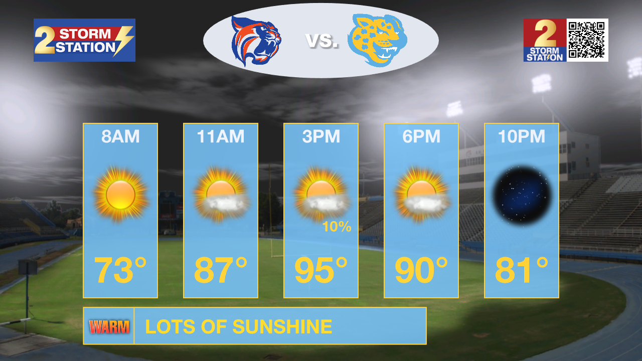
Tonight & Tomorrow: The welcome dip in humidity will hang around a bit longer. Clear skies and comfortable conditions will dominate through Saturday morning, when lows could drop into the upper 60s for the second straight day. Although the humidity might venture closer to the muggy end of the spectrum on Saturday, it will still be below summer levels. Even so, it will stay hot with plentiful sunshine nudging highs into the mid-90s. While plenty warm for tailgating, temperatures will slip out of the 90s and fall through the 80s after the 6 p.m. kickoff on the Bluff.
In Oxford, the LSU Tigers are set to take on the Ole Miss Rebels in what could be one of the hottest road games the team has ever played. The Storm Station crunched the numbers in the LSU Kickoff Weather Index.

Up Next: Humidity will start creeping back in on Sunday, returning in full force by early next week. This will bring the brief taste of fall relief to an end, plunging the area right back into the late-summer steam. The added moisture could trigger a few afternoon thunderstorms, though the overall coverage will be somewhat sparse each day. Meanwhile, highs and lows won’t budge from the mid-90s and low 70s, respectively. Toward midweek, signs point to another drop in humidity across the Capital Area. This would clear out rain chances, bring back more sunshine, and potentially send overnight lows back into the 60s by late next week.
Trending News
Get the latest 7-day forecast and real-time weather updates HERE.
Watch live news HERE.
The Tropics: There is a broad area of low pressure located several hundred miles southwest of the Azores in the eastern subtropical Atlantic. Associated showers and thunderstorms have shown little change in organization since this morning, but even a slight increase in organization could result in the formation of a tropical depression. In any event, the system will meander over the next couple of days before drifting southwest early next week. This disturbance will pose no threat to the United States.

— Meteorologist Malcolm Byron
The Storm Station is here for you, on every platform. Your weather updates can be found on News 2, wbrz.com, and the WBRZ WX App on your Apple or Android device. Follow WBRZ Weather on Facebook and X for even more weather updates while you are on the go.
More News

