

Latest Weather Blog
Tuesday PM Forecast: milder and damp end to workweek, focus on weekend winter storm
The remainder of the workweek will be mild with occasional showers. Then, a winter storm with cold rain and possibly ice is expected this weekend.
Tonight & Tomorrow: Gulf moisture will surge back into the region late tonight, causing clouds to thicken. With this occurring, low temperatures will likely come just after midnight in the mid-40s with thermometers climbing through dawn. Wednesday will be mainly cloudy and seasonable with highs in the mid 60s. By afternoon, have the umbrella handy as isolated showers develop—especially north and west of Baton Rouge.
Rest of the Workweek: Thursday will be a little dreary with mostly cloudy skies and isolated showers. Temperatures will start in the low 50s and moderate into the low 70s. Friday marks the beginning of a major change. A cold front will slide into the region, stall, and keep conditions damp and drab. After lows in the mid 50s, we will still see highs in the upper 60s, before temperatures tumble into the weekend and set the stage for some nasty weather.
Winter Storm Potential: Saturday will be a day of chilly, steady, or even falling temperatures. A surge of cold air will plunge across the country toward the Gulf Coast while a large winter storm develops across the Southern United States with large swaths of snow, ice, and rain. Focusing on the Baton Rouge Metro Area, periods of rain are expected through the daytime hours. Saturday night through early Sunday, continued falling temperatures could result in some locations transitioning from plain rain to freezing rain, especially north and west of the city, closer to Mississippi. The greatest risk for accumulating ice will be along and north of a line from St. Francisville to Kentwood. For the I-10/12 corridor, the chance of accumulating ice is lower. However, as temperatures eventually do drop below freezing everywhere later Sunday, any wet surfaces could freeze—especially bridges and overpasses.
Trending News
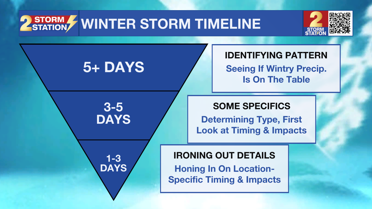
A minor change from just 32° to 33° makes a major difference in impacts for an event like this, so monitor Storm Station forecasts as new information comes in each day. Be prepared to change or cancel travel plans this weekend.
.png)
Up Next: Precipitation will clear out by Sunday evening, but the cold will tighten its grip. A hard freeze is possible both Monday and Tuesday morning with lows in the low to mid 20s for several hours. Use any dry time later this week to wrap exposed, outdoor pipes if you have not already done so this season. Both afternoons will show some sun and get highs into the mid to upper 40s.

Get the latest 7-day forecast and real-time weather updates HERE.
Watch live news HERE.
– Josh
The Storm Station is here for you, on every platform. Your weather updates can be found on News 2, wbrz.com, and the WBRZ WX App on your Apple or Android device. Follow WBRZ Weather on Facebook and X for even more weather updates while you are on the go.
More News
