

Latest Weather Blog
Tuesday PM Forecast: showers possible overnight, strong cold front moves through soon
A batch of light rain showers will pass through tonight into Veterans Day before a potent cold front brings the coldest air so far this season by the weekend. Some locations will even have to be ready for frost.
Overnight Showers: no major amounts, but slick roads for some early Wednesday
Strong Cold Front: passes through dry on Thursday morning
First 30s: possible Friday night into Saturday

Trending News
Tonight and Tomorrow: A weather disturbance passing over the Capital Area will bring clouds and showers overnight. Some light rain is possible between about midnight and mid-morning on Wednesday, so slick roads are possible for the morning commute. Lows will stop in the mid-50s. Skies will partially clear into Wednesday afternoon. High temperatures will rebound into the upper 70s ahead of a strong cold front.
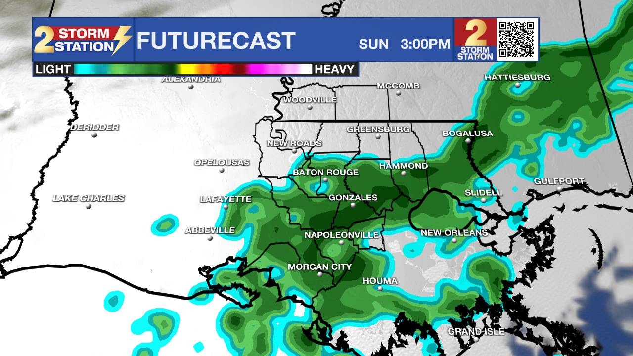
Use the slider to advance through the next 24 hours of Futurecast
Up Next: The mild stretch will break on Thursday as a sharp cold front pushes south into the Gulf. Temperatures will briefly hit the mid 70s but may well start to fall by afternoon. Friday will begin noticeably cooler in the mid 40s and barely warm to the low 70s.
The cold front will also sweep away what little moisture was in the atmosphere while northerly breezes increase. This combination could create dangerous fire spread conditions given how dry grass, plants, and brush have become. If your parish is under a burn ban, hold off on outdoor burning entirely, avoid discarding smoking materials outdoors, or parking hot vehicles on dry grass.
The coldest period will be Friday night into Saturday. Lows will plunge into the upper 30s for the first time since March, with rural and low-lying spots possibly turning frosty by dipping into the mid-30s. Bring sensitive outdoor plants inside Friday night and take some warm layers for early Saturday morning activities such as tailgates. Saturday afternoon will stay crisp with plenty of sunshine. Highs will top out in the upper 60s.
Clouds will filter back in on Sunday with a stray 20% sprinkle chance and afternoon highs around 69. Another passing disturbance will bring a 30% chance for light showers on Monday, with highs remaining cool in the upper 60s.
Get the latest 7-day forecast and real-time weather updates HERE.
Watch live news HERE.
The Tropics: The Gulf, Caribbean, and Atlantic are all quiet. No development is expected over the next seven days as we near the end of hurricane season.
– Josh
The Storm Station is here for you, on every platform. Your weather updates can be found on News 2, wbrz.com, and the WBRZ WX App on your Apple or Android device. Follow WBRZ Weather on Facebook and X for even more weather updates while you are on the go.
More News

