

Latest Weather Blog
Monday Evening Video Forecast
Related Story
A typical spring pattern is expected for much of the week. Temperatures will be very warm, and there are a few opportunities for fog. Thunderstorms return to the forecast this weekend.
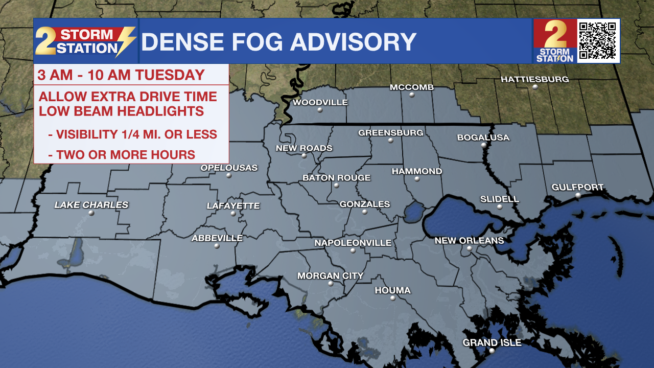
A *DENSE FOG ADVISORY* is in effect from 3am - 10am Tuesday across southeast Louisiana and southwest Mississippi. Visibility may be one quarter mile or less in dense fog and could make driving conditions hazardous, especially during the Tuesday morning commute.
Tonight & Tomorrow: Clearing skies and light winds overnight may result in patchy fog development which could affect the morning drive. Look for an overnight low near 60°. Any morning fog will lift by mid-morning, leaving behind a mostly sunny sky on Tuesday. It will be very warm with a high in the mid-80s.
Up Next: Another round of morning fog will be possible early Wednesday with a mixture of clouds and sun for the afternoon. A “backdoor” cold front, one that arrives from the northeast, will move into the region which might spark a stray shower or two. But widespread rain is not expected. Increasing clouds on Thursday will signal the approach of the next rainmaker. Rain looks to be a possibility Friday through Sunday. A strong storm or two is not off the table on either one of those days, but exact timing and details are to be determined. Those with outdoor plans over the weekend will want to keep a close eye on the forecast.
Get the latest 7-day forecast and real-time weather updates HERE.
Watch live news HERE.
-- Meteorologist Malcolm Byron
The Storm Station is here for you, on every platform. Your weather updates can be found on News 2, wbrz.com, and the WBRZ WX App on your Apple or Android device. Follow WBRZ Weather on Facebook and X for even more weather updates while you are on the go.
News
