

Latest Weather Blog
Thursday PM Forecast: Isaias landfall expected well to the east, keeping local impacts minimal
As Isaias approaches the Gulf Coast, the local area will stay far enough away to avoid significant impacts. Expect breezy conditions Friday and Saturday alongside a passing shower or two, but little else. As the storm pulls away, a very nice pattern takes over for the rest of the weekend.
Tonight: With mainly clear skies staying in place, expect another quiet night with lows bottoming out in the mid-to-upper 60s.
Friday & Saturday: Heading into the weekend, the forecast will be dependent on the track of Hurricane Isaias. Confidence is high that landfall will occur somewhere near or east of Mobile Bay. Although impacts will extend far away from the storm center, it will track far enough east to keep impacts minimal across the Capital Area.
Friday will actually begin with a fair amount of sunshine, sending highs into the upper 80s. Clouds will increase during the afternoon, and winds will pick up out of the northeast. The breeze will be noticeable, blowing at 15-20 mph with gusts pushing 30 mph. A spotty late-day shower or storm cannot be ruled out, but it’s important to know that the majority of Friday looks dry. The best chance for a scattered shower comes Friday night into early Saturday. Even then, rain would be fairly light and patchy in nature.
Aside from the rain, brisk northeast winds could push 1 to 3 feet of water ashore during high tide in lower Livingston and St. Mary Parishes, causing minor coastal flooding. This rise in water isn't necessarily uncommon for the area, a far cry from the surge expected further east.
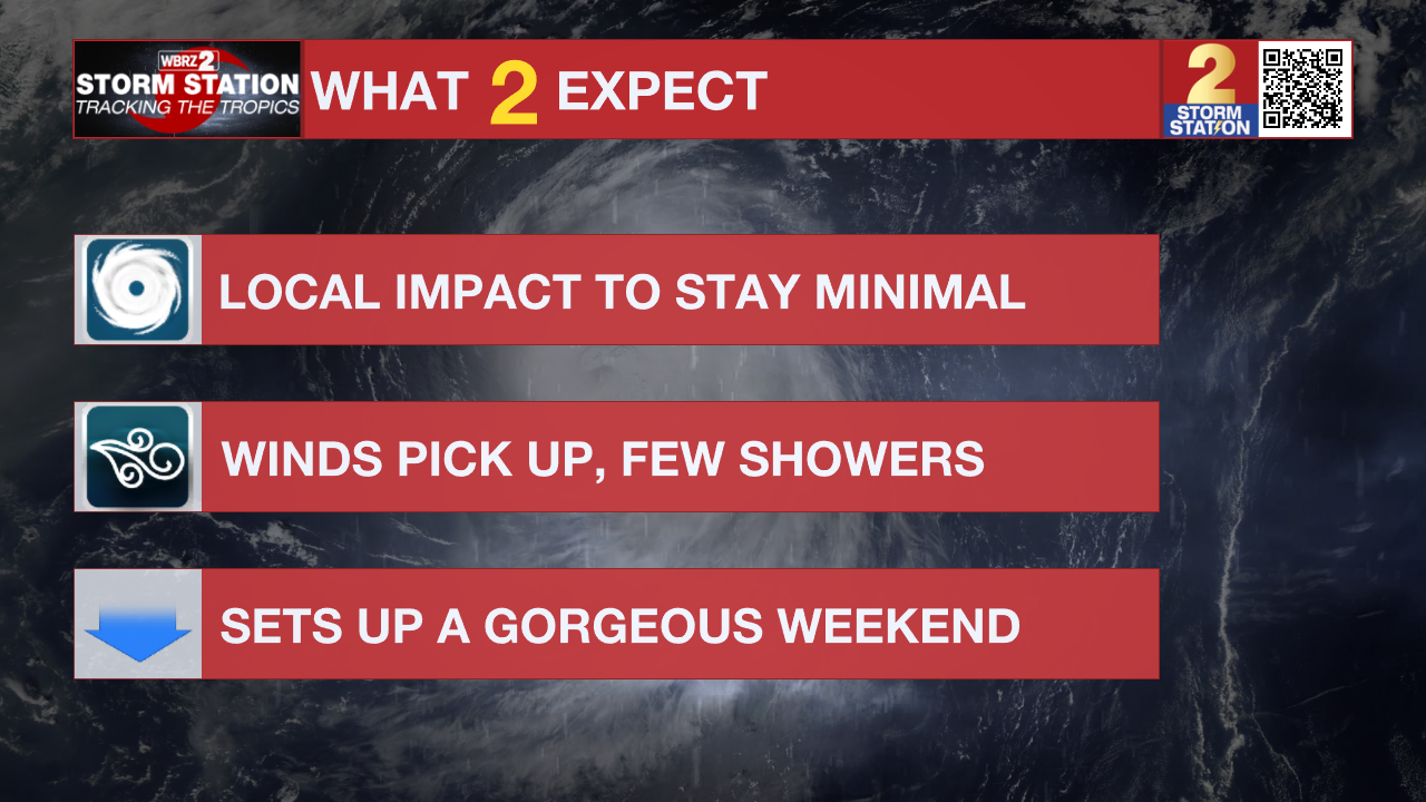
Moisture will clear out on Saturday, allowing clouds to break up and skies to brighten by afternoon. Northerly winds pulling in behind Isaias will deliver noticeably cooler air, keeping high temperatures capped in the upper 70s to lower 80s depending on how quickly cloud cover clears. Along with the cooler air, a drop in humidity will send temperatures tumbling into the upper 50s and low 60s by Sunday morning.
Trending News

Up Next: By Sunday afternoon, expect highs to rebound to the upper 80s, and actually surpass 90° by early next week. Humidity will slowly creep up too, but not quite reach summer levels. Most days will be dry, with rain the exception rather than the rule.
Get the latest 7-day forecast and real-time weather updates HERE.
Watch live news HERE.
The Tropics: Hurricane Isaias continues to strengthen as of Thursday afternoon, with maximum sustained winds now topping 100 mph. That puts Isaias at Category 2 strength as it continues to accelerate toward the northern Gulf Coast. Forecast guidance now strongly agrees that landfall will likely occur somewhere near or east of Mobile Bay.

While Isaias is facing moderate wind shear now, warm waters should offset any weakening effect for a little while longer. Stronger shear will eventually prompt weakening leading up to landfall. However, Isaias will remain a dangerous hurricane through landfall, with strong gusty winds, flash flooding, storm surge, and tornadoes likely in the region. Closer to home, the overall impact will be minimal.
— Meteorologist Malcolm Byron
The Storm Station is here for you, on every platform. Your weather updates can be found on News 2, wbrz.com, and the WBRZ WX App on your Apple or Android device. Follow WBRZ Weather on Facebook and X for even more weather updates while you are on the go.
More News

