

Latest Weather Blog
Tropical Depression Nine forms in Gulf as coastal impacts become likely
The National Hurricane Center (NHC) has officially designated Tropical Depression Nine in the southwestern Gulf. Meandering just off the coast of Mexico, the system is expected to chart a course toward the north or northeast later this week, toward the Gulf Coast. If the system continues to organize beyond a tropical depression and achieves tropical storm status, it will take the next name on the list, Isaias.
There is still a wide spread of possible outcomes for the central Gulf Coast—stretching from southeast Louisiana to the Florida Panhandle—between Thursday and Saturday. Predicted intensities range from a negligible surface low pressure to a low-end hurricane.
FOR THE LATEST BATON ROUGE AREA FORECAST, CLICK HERE

IMAGE ABOVE WILL UPDATE AT 4 PM WHEN FIRST NHC ADVISORY IS ISSUED
Trending News
Computer forecast models rely heavily on a precise starting center of circulation. Without a fully formed center, initializing model runs before a storm forms is like asking someone to run a race without showing them the starting line.
Data and forecast information will improve now that a system is organizing and as reconnaissance flights analyze the Gulf environment. The NOAA Gulfstream jet is actively sampling atmospheric conditions, with Air Force and NOAA Hurricane Hunter aircraft scheduled for investigative flights to feed crucial real-time data into upcoming model runs.

Again, the exact forecast track and intensity remain fluid, so coastal interests from southeast Louisiana to the Florida Panhandle should closely monitor updates as the week unfolds. The system is expected to reach the coast between Friday and Sunday. A storm track closer to the Capital Area or just west would lead to a wetter, windier period. A storm track further east would lead to quieter and even dry weather around the Baton Rouge Metro.
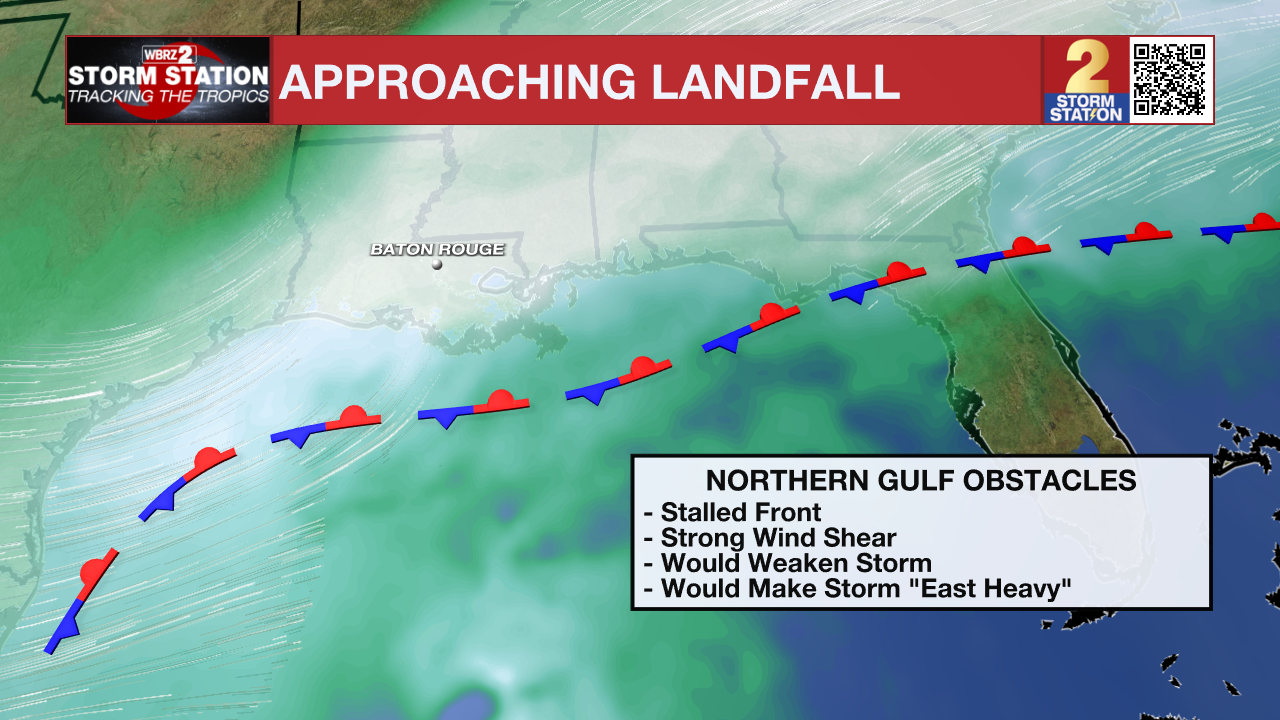
Strong wind shear present near the northern Gulf Coast is expected to work against the system as it approaches land. This atmospheric shear should limit storm organization, making it lopsided to the east and capping the storm's overall intensity.
The Storm Station is here for you, on every platform. Your weather updates can be found on News 2, wbrz.com, and the WBRZ WX App on your Apple or Android device. Follow WBRZ Weather on Facebook and X for even more weather updates while you are on the go.
More News

